What Is a Digital Twin? A Definition You Can Reuse
A digital twin is a virtual replica of a physical asset, site, or system that stays connected to its real-world counterpart through data. Teams use it to visualise, monitor, and test decisions on the digital version before acting on the physical one.
Three parts make up the concept: the physical asset, the digital model, and the data link between them. Remove the link and you have a static model. Add it and the model starts answering questions.
For infrastructure and heritage teams, that means an airport you can inspect before construction starts, a corridor you can test before approval, or a monument documented so precisely that its condition can be tracked for decades.
How Digital Twin Technology Works, Step by Step
Digital twin technology follows three steps. Each one decides how useful the twin will be.
Step 1: Capture the source data
Planned assets start from CAD and BIM files. Existing sites and monuments need LiDAR scanning, drone photogrammetry, or both. Sensors, schedules, and condition reports supply the live layer.
Step 2: Build the interactive model
Raw files are too heavy for real-time use. For the airport masterplan, we processed resource-intensive CAD and BIM data into lightweight polygon models that render instantly without losing detail. This step decides whether stakeholders trust the twin. A model that lags loses their attention.
Step 3: Choose the interaction layer
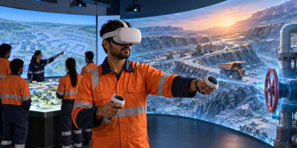
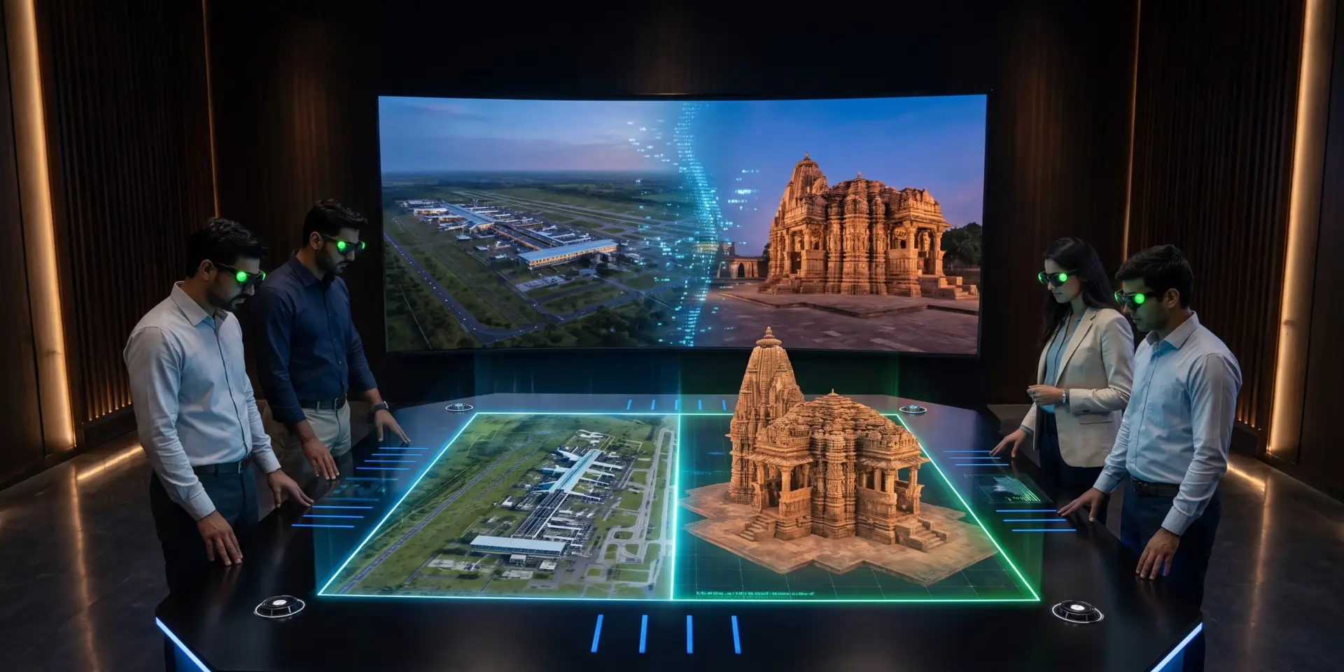
A twin is only useful if decision makers can operate it. Options include touchscreens, web viewers, VR headsets, and 3D holographic displays that let a full committee study one shared model without headsets.
Digital Twin vs 3D Model vs BIM vs Simulation
Budgets go wrong when teams confuse these four terms. The table below separates them.
| Term | What it does | What it lacks |
| 3D model | Shows static geometry of an asset | No data connection, no updates |
| BIM | Stores design and construction data in a structured model | Usually stops at project handover |
| Simulation | Tests one scenario under set conditions | Ends when the test ends |
| Digital twin | Combines the model, the data, and ongoing interaction | Needs disciplined data inputs |
Our honest view after several public sector projects: most departments already own BIM files and assume they own a digital twin. They own the raw material. The twin begins when that data becomes an interactive model people can question in a meeting.
The Four Levels of a Digital Twin, and Where to Start
Not every project needs sensors on day one. We group maturity into four levels:
- Level 1, Descriptive: an accurate 3D digital twin of the asset as designed or as built
- Level 2, Informative: the model linked to project data such as construction phases, budgets, or condition reports
- Level 3, Predictive: simulations that forecast footfall, traffic, or structural stress
- Level 4, Autonomous: the twin monitors live feeds and triggers actions on its own
Our advice is direct: start at level one or two. Approval delays and communication failures sit there and cost projects the most. Sensor networks can come later.
Infrastructure Digital Twin: What an Airport Masterplan Taught Us
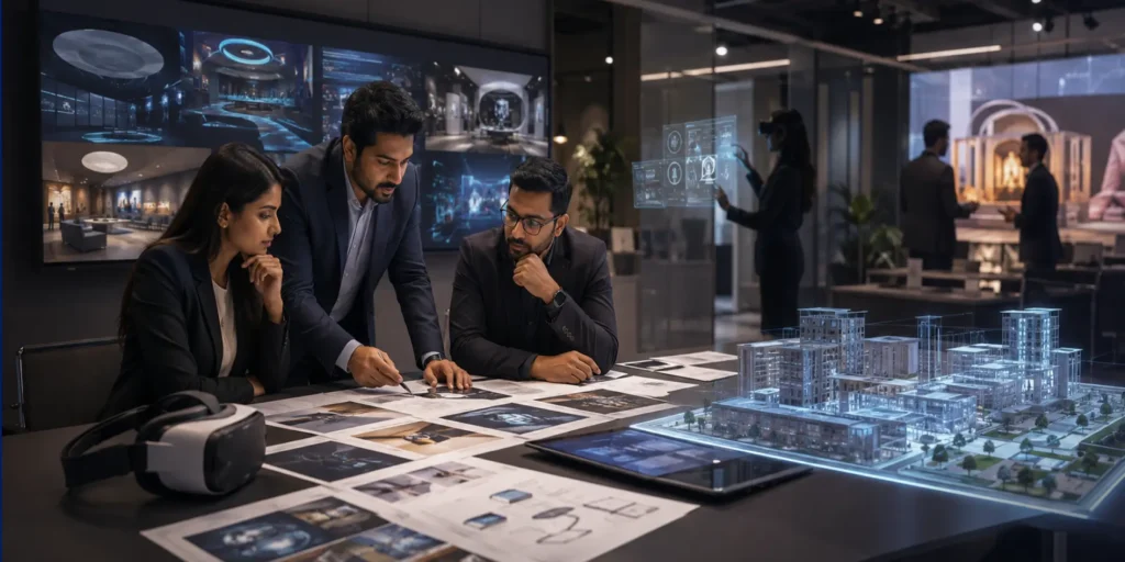
An infrastructure digital twin compresses months of review meetings into a single interactive session. We saw this first hand on the airport project. The brief: replace static CAD presentations with a model senior officials could navigate live.
The results now shape how we scope every infrastructure digital twin:
- Masterplan reviews: officials switched between first-person, bird’s-eye, and cross-section views to inspect any zone
- Phase visibility: live construction data showed each stage of the build against its timeline
- Error detection: the team flagged spatial and structural conflicts invisible on 2D drawings, before construction began
- Faster consensus: one shared model ended the cycle of separate briefings for every department
Independent research points the same way. McKinsey reports that governments now use these twins to model the direct and indirect effects of infrastructure projects before committing public funds.
For smart city programmes and public sector undertakings, the lesson is simple: the earlier the twin enters the project, the more errors it removes at the cheapest stage.
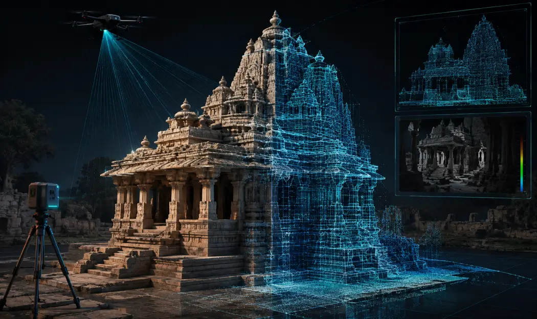
Digital Twin Technology for Heritage: Preserving What Cannot Be Rebuilt
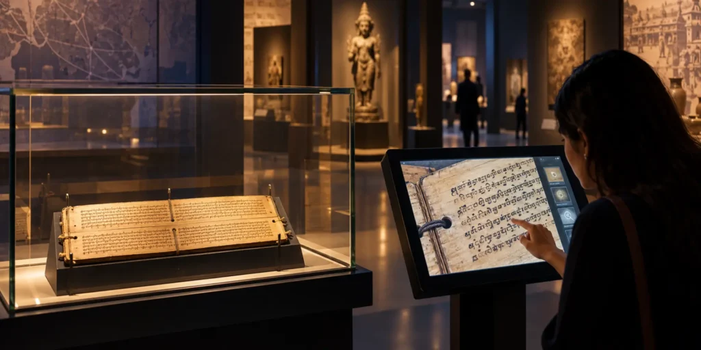
Heritage faces a different problem. A monument damaged by weather, footfall, or disaster cannot be reordered from a supplier. Digital twin technology gives heritage administrators a permanent record and a new way to share the site with the public.
A 3D digital twin of a heritage structure starts with LiDAR scanning and photogrammetry. From that base, four uses follow:
- Documentation: a millimetre-accurate record that guides any future restoration
- Condition monitoring: repeat scans reveal erosion, cracks, and structural movement over time
- Wider access: virtual visits open the site to students, researchers, and tourists who cannot travel there
- Revenue and footfall: immersive exhibits built on the twin give tourism boards a new attraction at the physical site
The conservation community has moved the same way. A dedicated UNESCO Chair in Digital Twins for World Heritage Conservation now researches how twins protect listed sites against climate and visitor pressure.
In our own work, the twin rarely stands alone. State tourism departments pair site twins with immersive centres for government tourism projects, where LiDAR data becomes a guided visitor experience rather than a technical archive.
What You Need Before You Commission a Digital Twin
Readiness matters more than budget. Before any twin project, we ask clients for four things:
- Source data: CAD or BIM files for planned assets, scan data for existing sites
- One clear first use case: an approval meeting, a visitor experience, or condition monitoring
- A display decision: touchscreen, web, VR, or holographic table, since each changes model optimisation
- An update owner: a named person who feeds new data into the twin after launch
The most common blocker we meet is not money. It is scattered data. Drawings sit with one contractor, schedules with another, survey files with a third. Consolidating them is the real first step.
See a Working Digital Twin Before You Commit
Committing budget to a concept is hard. Watching a finished twin respond in real time is easier. Our team has delivered an interactive holographic masterplan for a national airport authority, presented it live to senior national leadership at the ground-breaking ceremony, and used it to flag design errors before construction. The same pipeline, from heavy CAD data to a real-time 3D digital twin, applies to corridors, terminals, precincts, and heritage sites.
ViitorX builds these systems end to end, from data processing and modelling to the immersive experience centres and digital installations that put the twin in front of decision makers and visitors.
If you are planning an infrastructure twin or a heritage digitisation programme, talk to our team. We will show you the airport twin and map out what your existing data already supports.
The Bottom Line
A digital twin is a decision tool. It moves risk from the site and the monument to a screen, where mistakes cost nothing to fix. Start with the data you have, pick one use case, and build a descriptive twin first. Teams that adopt this technology early approve faster, restore with better records, and explain decisions clearly to the public they serve.
FAQs
What is a digital twin in simple words?
It is a digital copy of a real asset or site that stays updated through data, so teams can inspect and test the copy instead of disturbing the original.
What is a 3D digital twin?
A 3D digital twin is the visual form of the concept: a spatial, navigable model built from CAD, BIM, or scan data, representing the asset in three dimensions.
Is a digital twin the same as a simulation?
No. A simulation tests one scenario and ends. A twin persists, stays connected to data, and can run many simulations across the life of the asset.
What does an infrastructure digital twin cost?
Cost depends on data readiness, model detail, and display hardware. A descriptive infrastructure digital twin built from existing CAD files costs far less than a sensor-fed predictive system, so we recommend starting there.
Can heritage sites use digital twin technology?
Yes. Scanning creates the base model, and the result can power both conservation records and public experiences such as a digital museum.
Is a digital twin a type of AI?
No. It is a data-connected model. AI can sit on top of it to predict behaviour or analyse patterns, but the twin itself is the model plus its data link.